Our Mission
Our mission is to deliver innovative drone and geospatial solutions that improve operational efficiency, support data-driven decision making, and contribute to sustainable development.

Skynet E-Solution provides advanced drone-based surveying and aerial data solutions using modern UAV technologies. Our services include high-resolution aerial photography, drone mapping, infrastructure inspection, and precision data collection for various industries.
We specialize in capturing accurate geospatial and visual data using advanced drone sensors and imaging systems, enabling faster surveys and efficient project monitoring.
Our expertise also includes drone mapping using high-quality RGB cameras and LiDAR sensors, enabling high-resolution terrain modeling, orthomosaic map generation, 3D mapping, and accurate spatial analysis to support planning, monitoring, and decision-making.
Our services include aerial land surveys, construction progress monitoring, agricultural field analysis, infrastructure inspection, disaster assessment, and high-precision drone mapping solutions for government and private sector organizations.

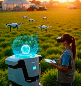


Advanced Drone & Geospatial Solutions
Our mission is to deliver innovative drone and geospatial solutions that improve operational efficiency, support data-driven decision making, and contribute to sustainable development.

Our vision is to become a trusted provider of drone and geospatial technologies, delivering advanced aerial solutions that empower industries and communities.
Innovative Aerial Solutions for Every Industry
High-accuracy surveys and aerial mapping for land, infrastructure, and topographic analysis using advanced UAV technology.
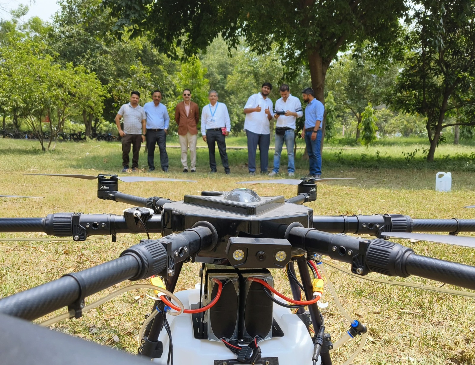
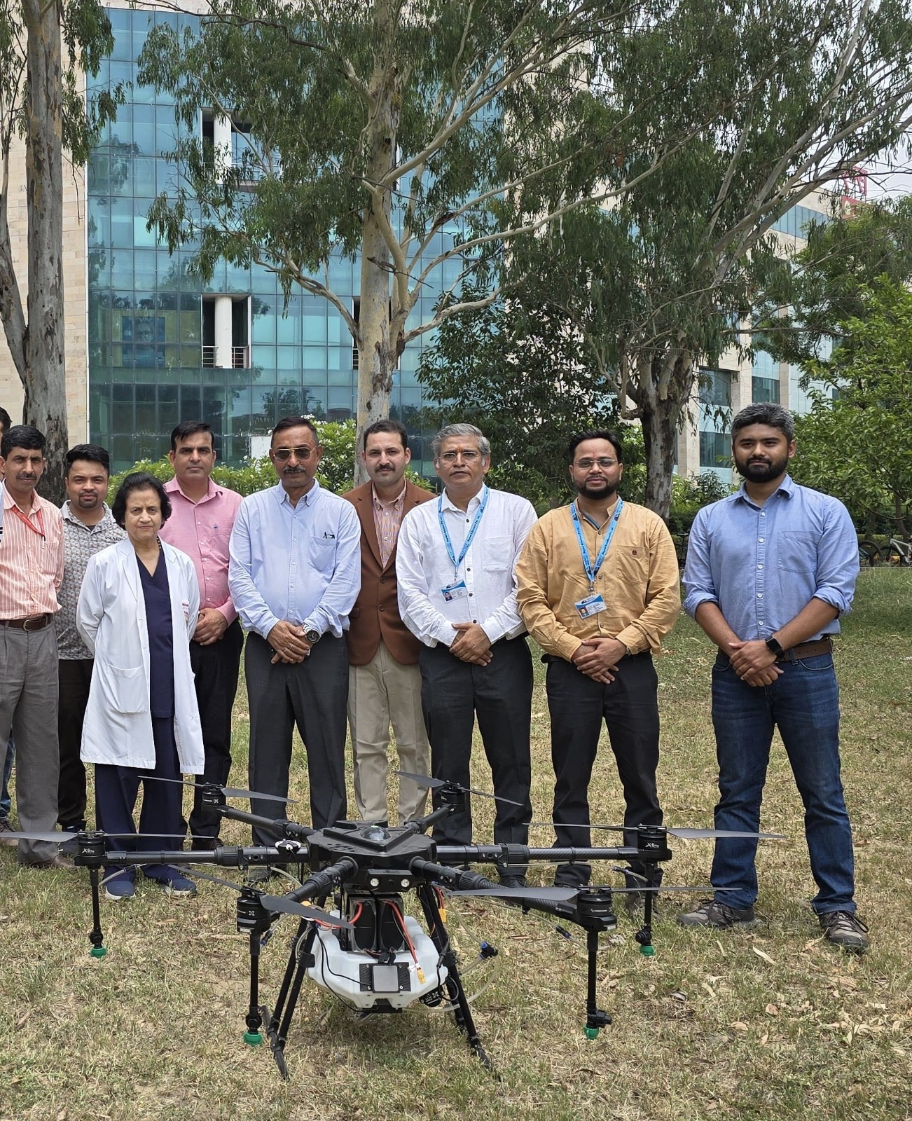
Efficient pesticide and fertilizer spraying to improve crop health, reduce labor costs, and increase productivity.
Accurate stockpile calculation, terrain mapping, and flood analysis for mining and environmental management.
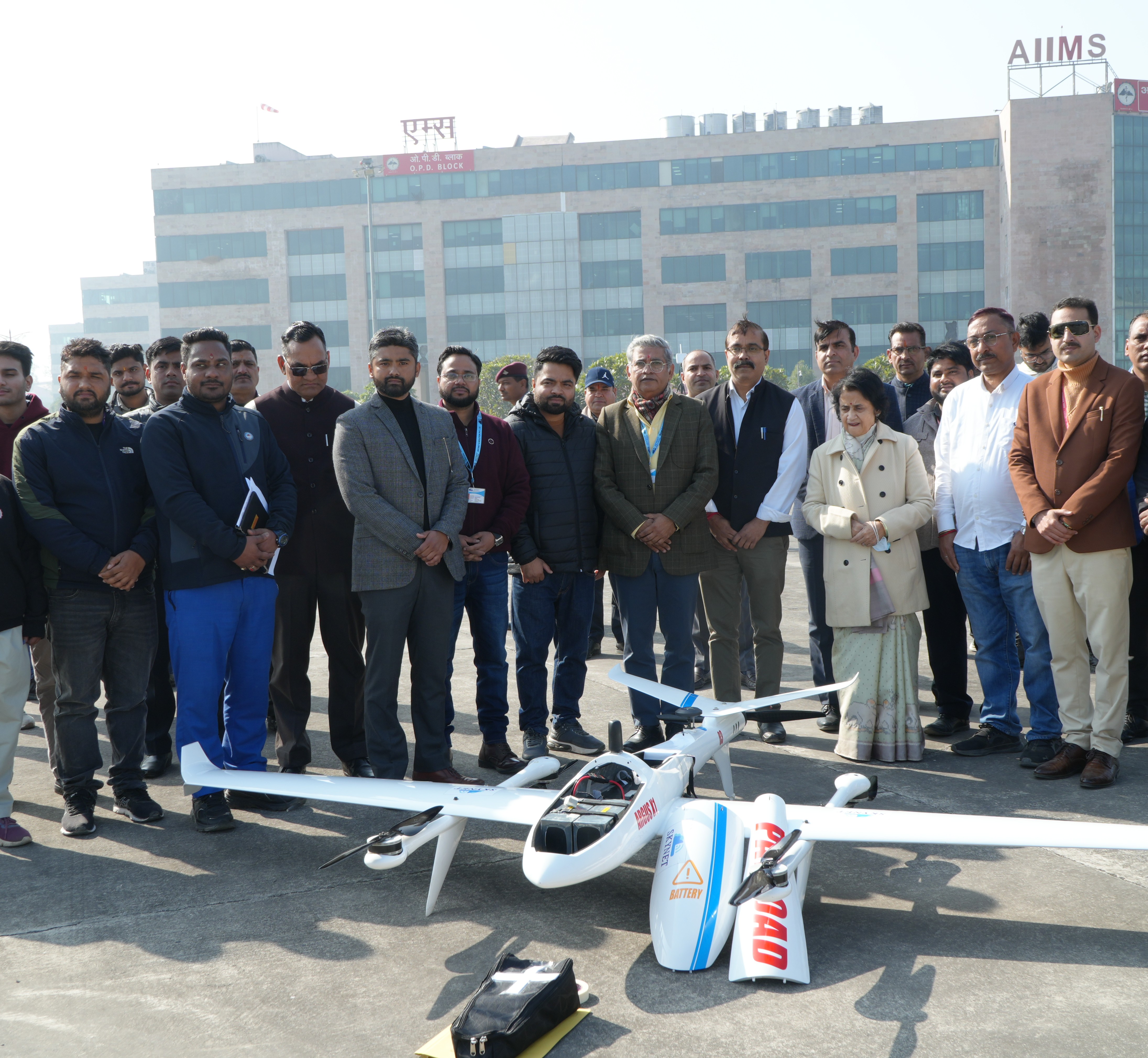
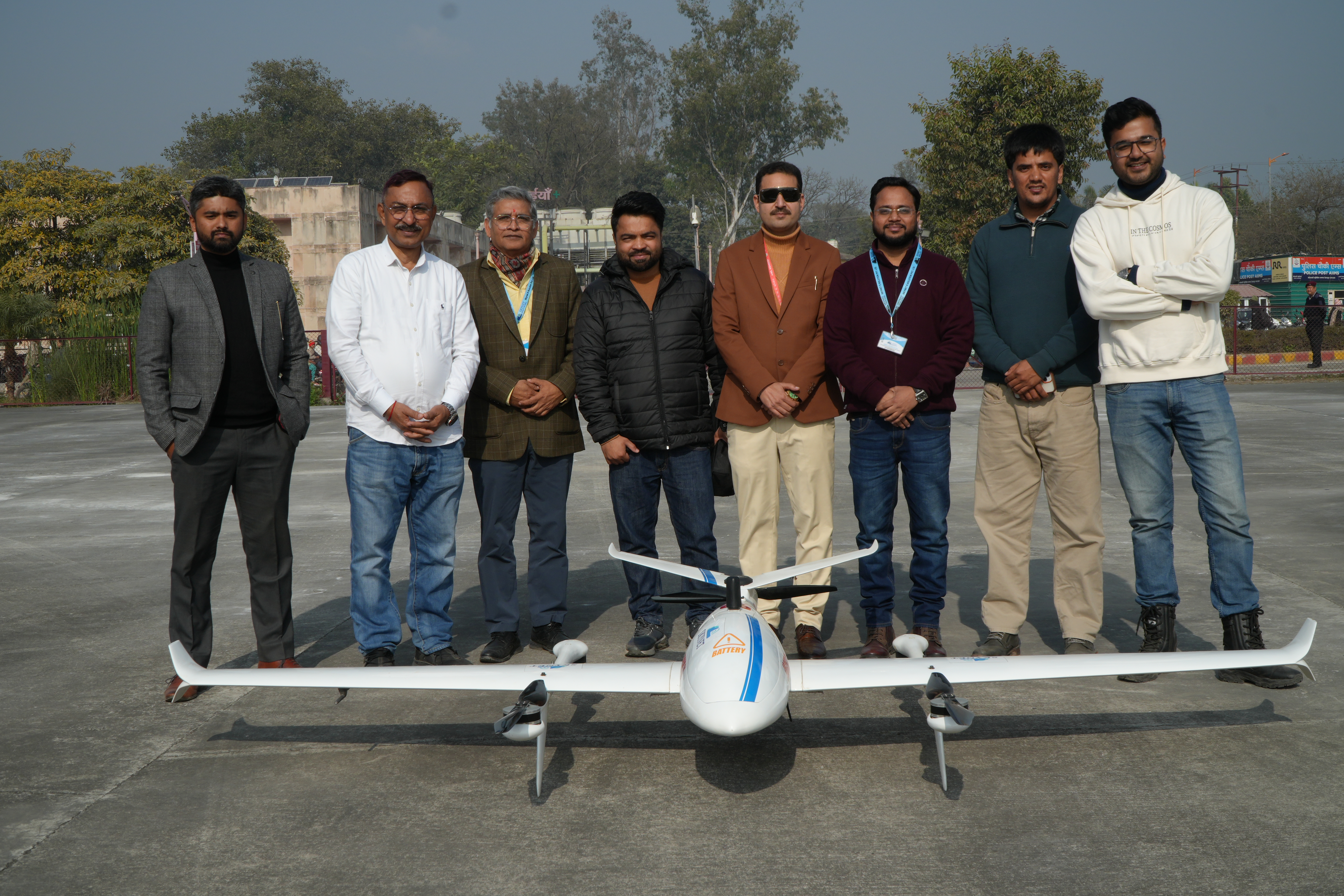
Specialized logistics drones for reliable transportation and delivery in difficult or remote geographical locations.
Expert sales and technical support for agriculture and logistics drones, including professional training and guidance.
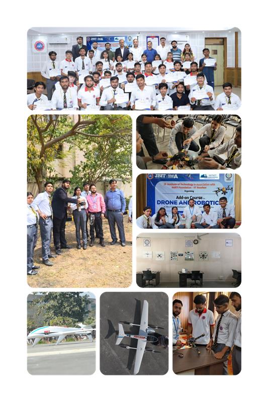
At our RPTO (Remote Pilot Training Organisation), we train working professionals and students to become skilled Remote Pilots in modern drone technology through theory classes, simulator-based lab training, and practical on-field drone flying.
Our programs are designed for personnel from the Indian Army, officials from government departments, and students from leading universities and colleges. Participants gain hands-on skills in drone operations, safety protocols, mission planning, aerial surveys, and data collection for applications in agriculture, infrastructure, disaster management, and geospatial mapping.
We also provide training at client sites, offering short-term and long-term programs based on organizational requirements.
One to two-week comprehensive programs for students.
Covers drone operations, safety protocols, and data collection.
Includes simulator training and real field drone flying.
Focus on real-world applications and geospatial technology.
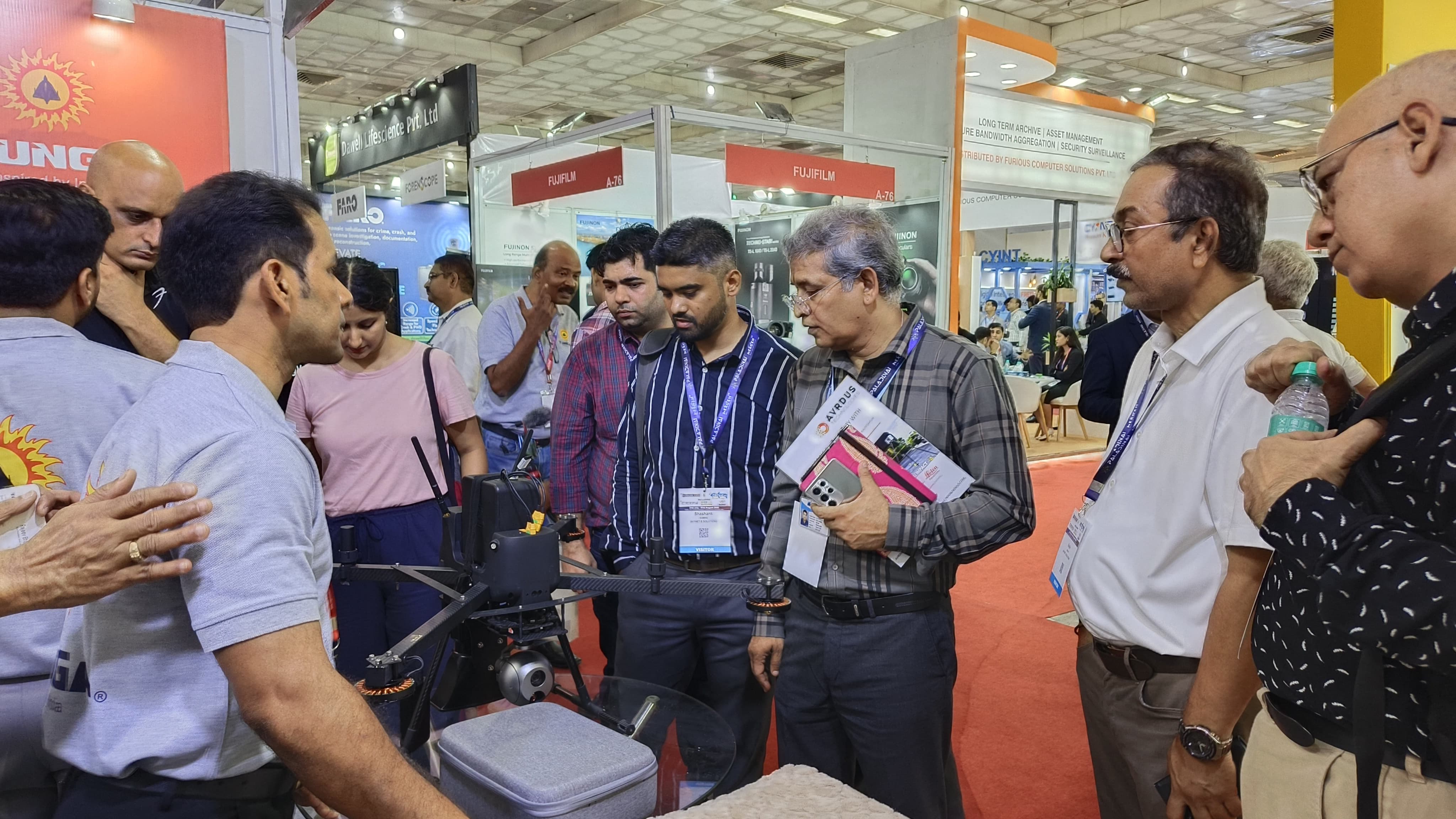
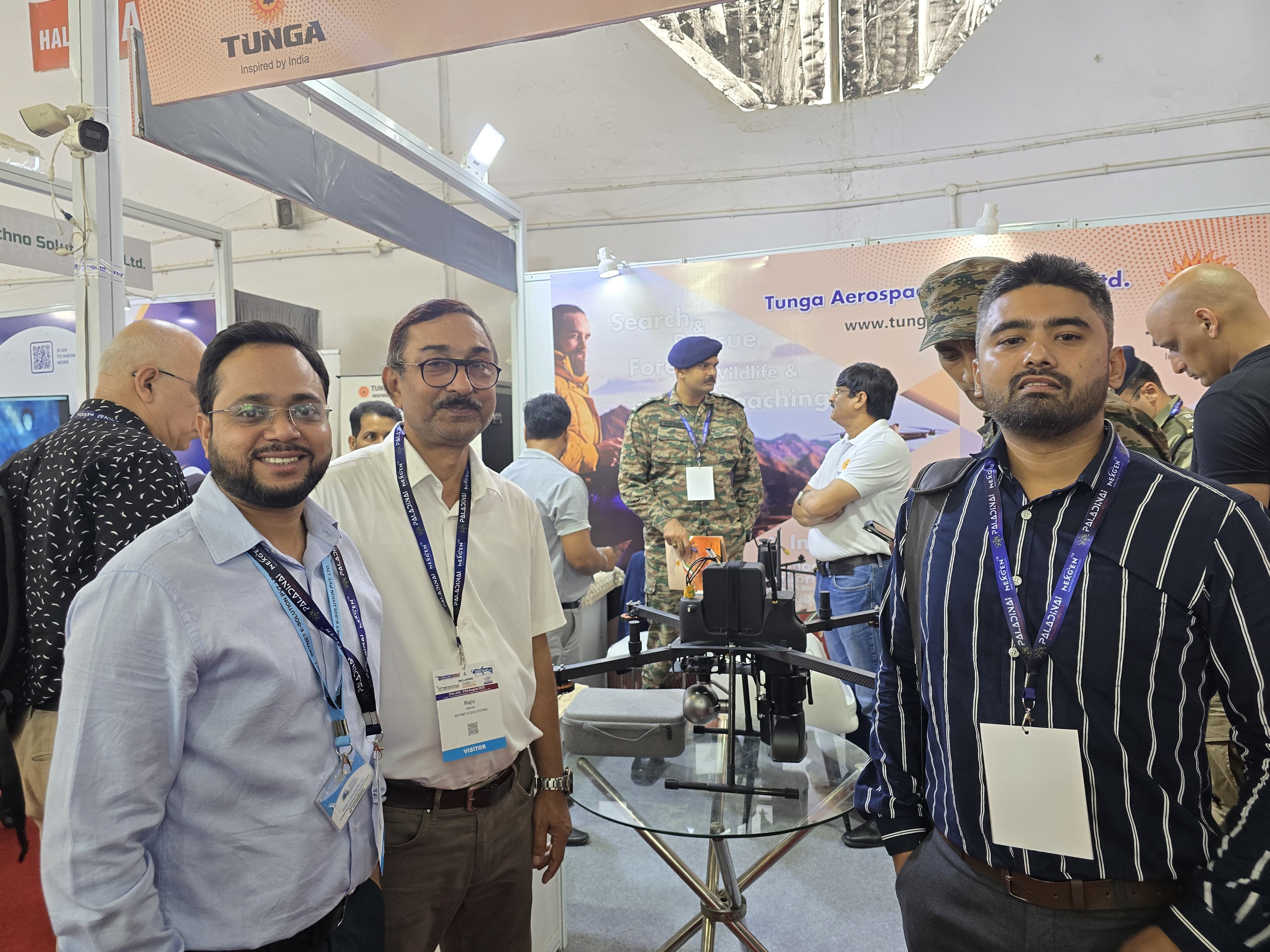
Milestones that define our commitment to excellence and innovation.
Team Skynet E-Solution Pvt. Ltd. proudly attended the 10th International Police Expo & 9th India Homeland Security Expo 2025 at Bharat Mandapam, New Delhi, exploring FPV, kamikaze, agri-drones, 3D printing and critical drone components.
The demo showcased advanced aerial spraying of pesticides and herbicides, improving efficiency, reducing manual labor, and enabling precision agriculture.
Logistic Fix Wing Drone mission successfully executed, demonstrating high-endurance and precise cargo delivery capabilities.